Geostationär
Bildinfo und Lizenz
© 2016
- 2026
Bildinfo
- Rund 36 Tausend Kilometer über dem Äquator: Dieser Wettersatellit wurde unter anderem zur Warnung vor tropischen Wirbelstürmen eingesetzt. Er nahm verschiedene Positionen zwischen 60 und 75 Grad westlicher Länge ein. Auf dem Bild steht er etwa über dem südamerikanischen Land Ecuador.
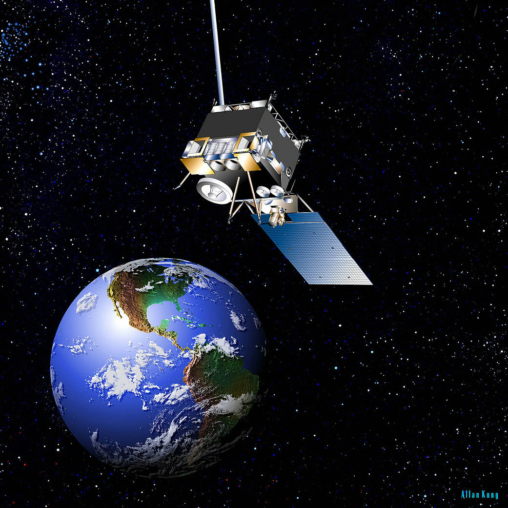
- Wikipedia: GOES-12, known as GOES-M before becoming operational, is an American weather satellite, which is part of the US National Oceanic and Atmospheric Administration's Geostationary Operational Environmental Satellite system. It was launched on July 23, 2001, [3] and spent its first 21 months in space as an on-orbit spare. From April 2003, the satellite took over the GOES-East position, providing coverage of the eastern half of the continental United States. In April 2010, GOES-East operations were taken over by GOES-13, and GOES-12 transitioned to the GOES-South location to devote time to South American imagery. [4] It remained at this post until it was decommissioned on August 16, 2013 [3] and subsequently boosted to a graveyard orbit.
Source
- Created: Probably before the year 2010
- Author: Allan Kung
- Credit: NASA
License
Public Domain: All NASA-images are in the Public Domain unless otherwise noted.
Warranty
- No guarantee can be given as to the correctness of facts implied or explicitly stated.
- Usage is completey at your own risk. 💣
Originalseite
- Das Bild ist Teil eines online-Lexikons.
- Rhetos Lernlexikon Mathematik, Aachen:
- Siehe unter 👉 Stationär